An Interactive Map of Ícalar
At last, an interactive map is now in progress! More interactivity is in the works, including settlements and other points of interest. Enjoy exploring!
~ Hover over the map to see country and neutral territory borders.
~ Or, hover over or click a country name in the legend below the map to highlight it.
~ Mobile users, tap the map in place of hovering.
- The Creqira
- Üstraria
- Íyr
- Balaqalneyis
- Seyis-Gol
- Ünenshuut
- Kiva
- The Haaros
Map art by the talented Melissa Nash—commission her here! Interactivity coding guidance kindly provided by Keon Shore.
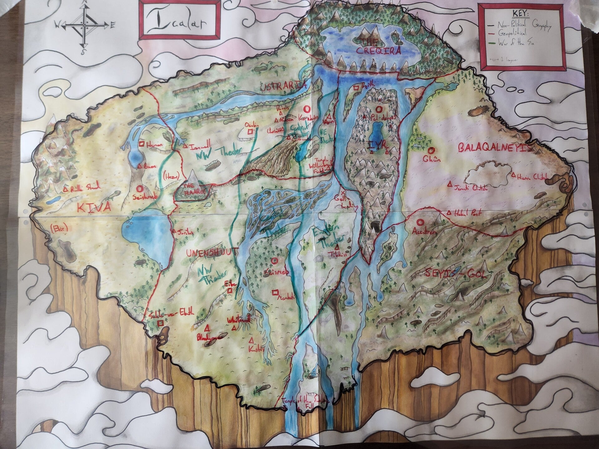
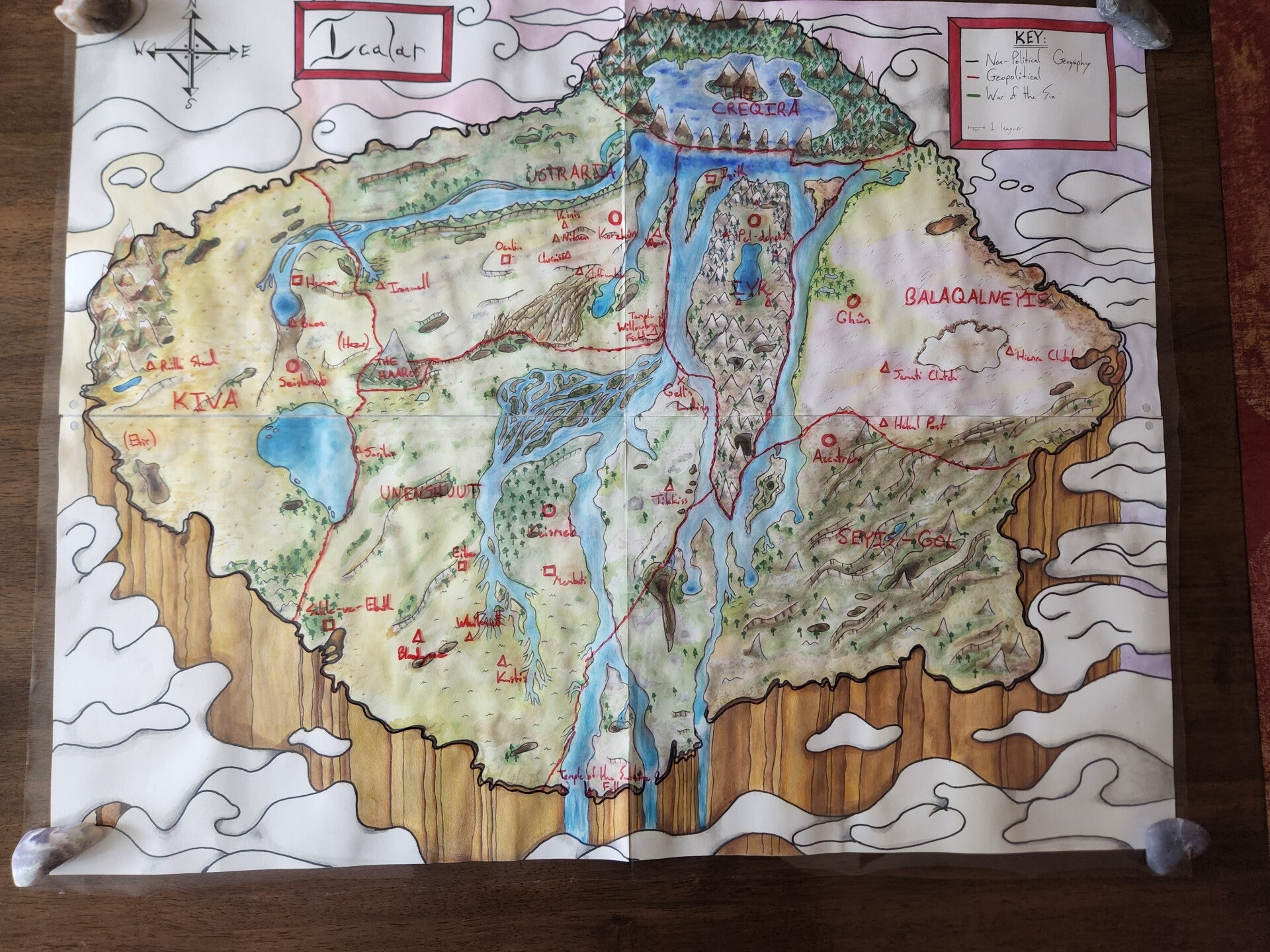
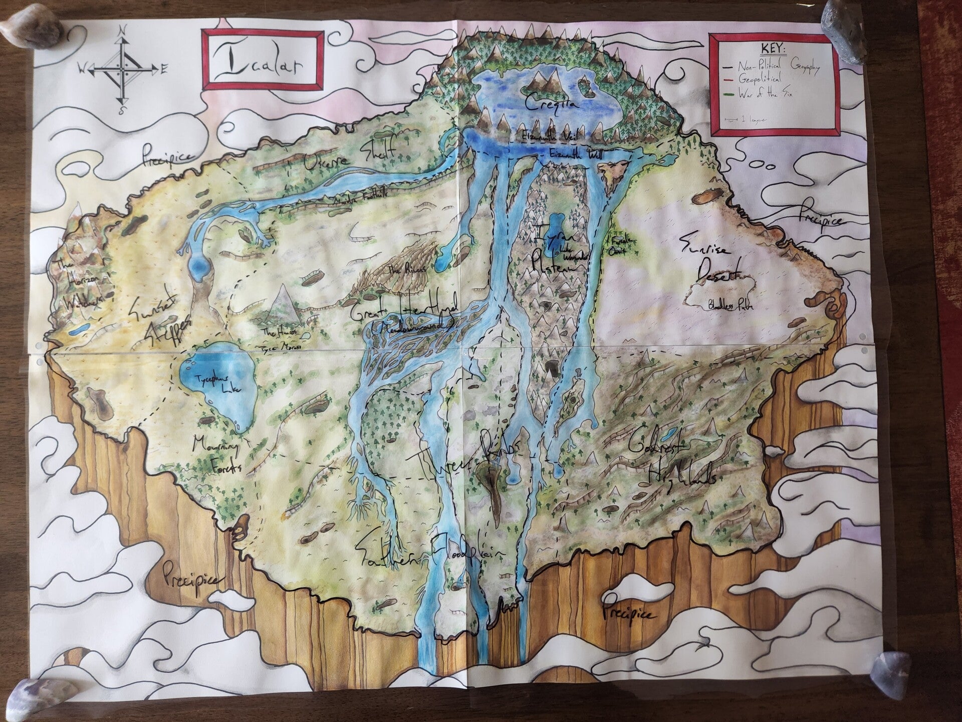
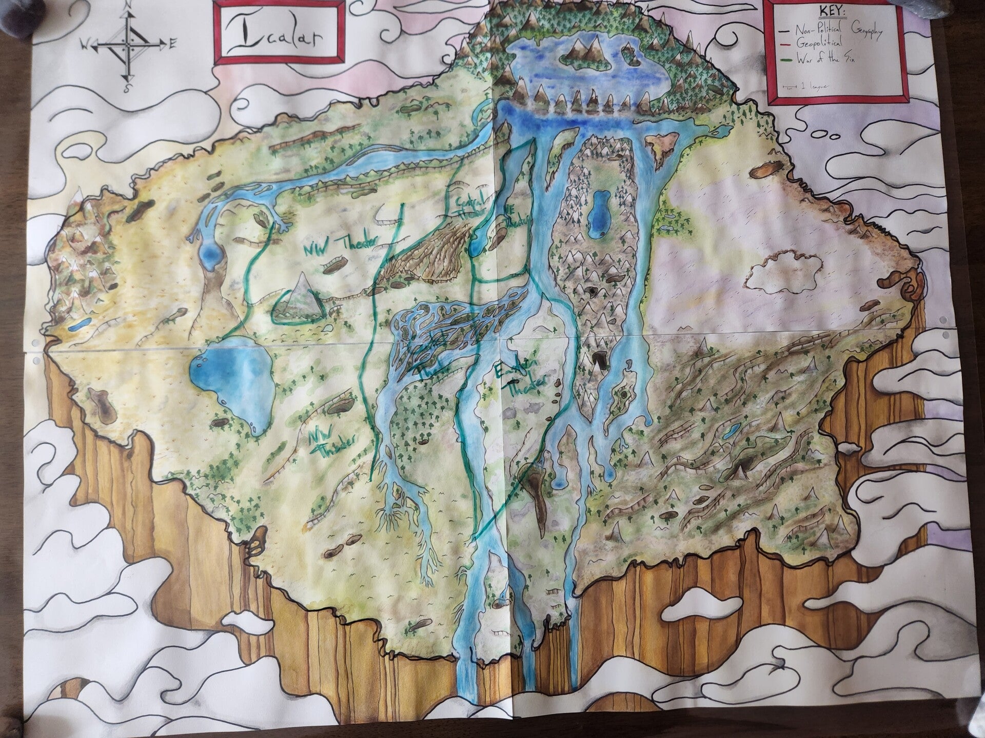
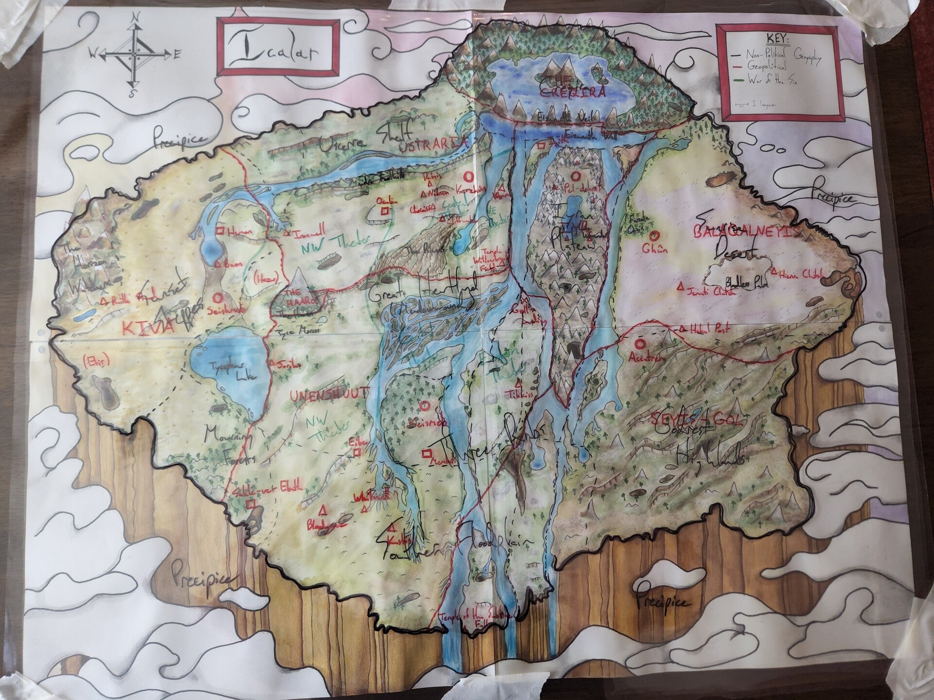
Tamara's Original, Hand-Drawn and -Painted Map
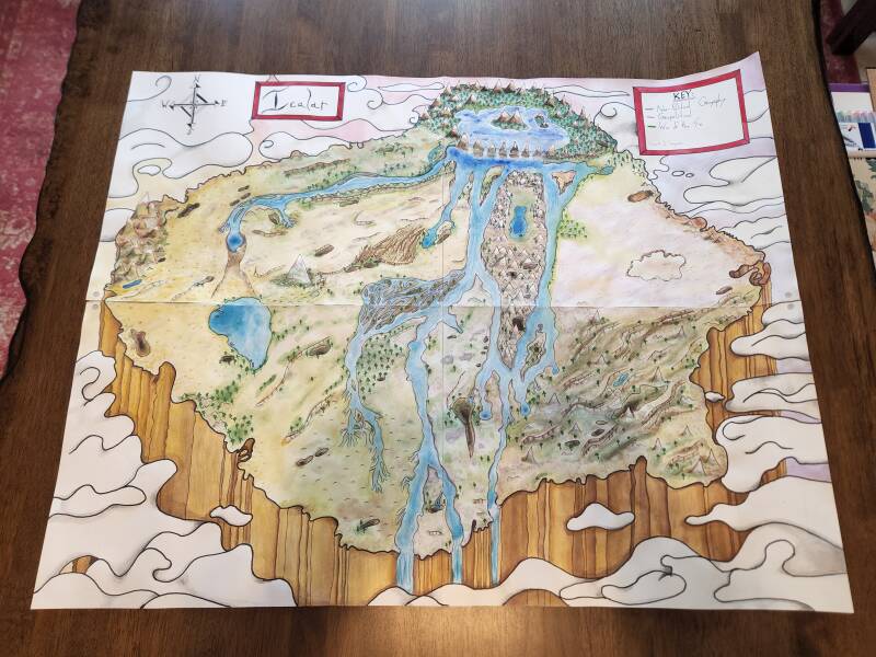
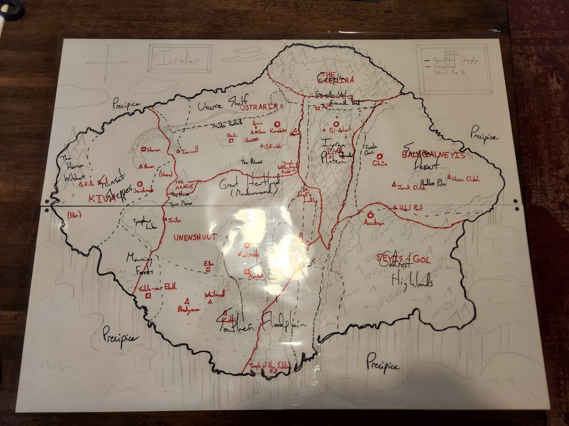
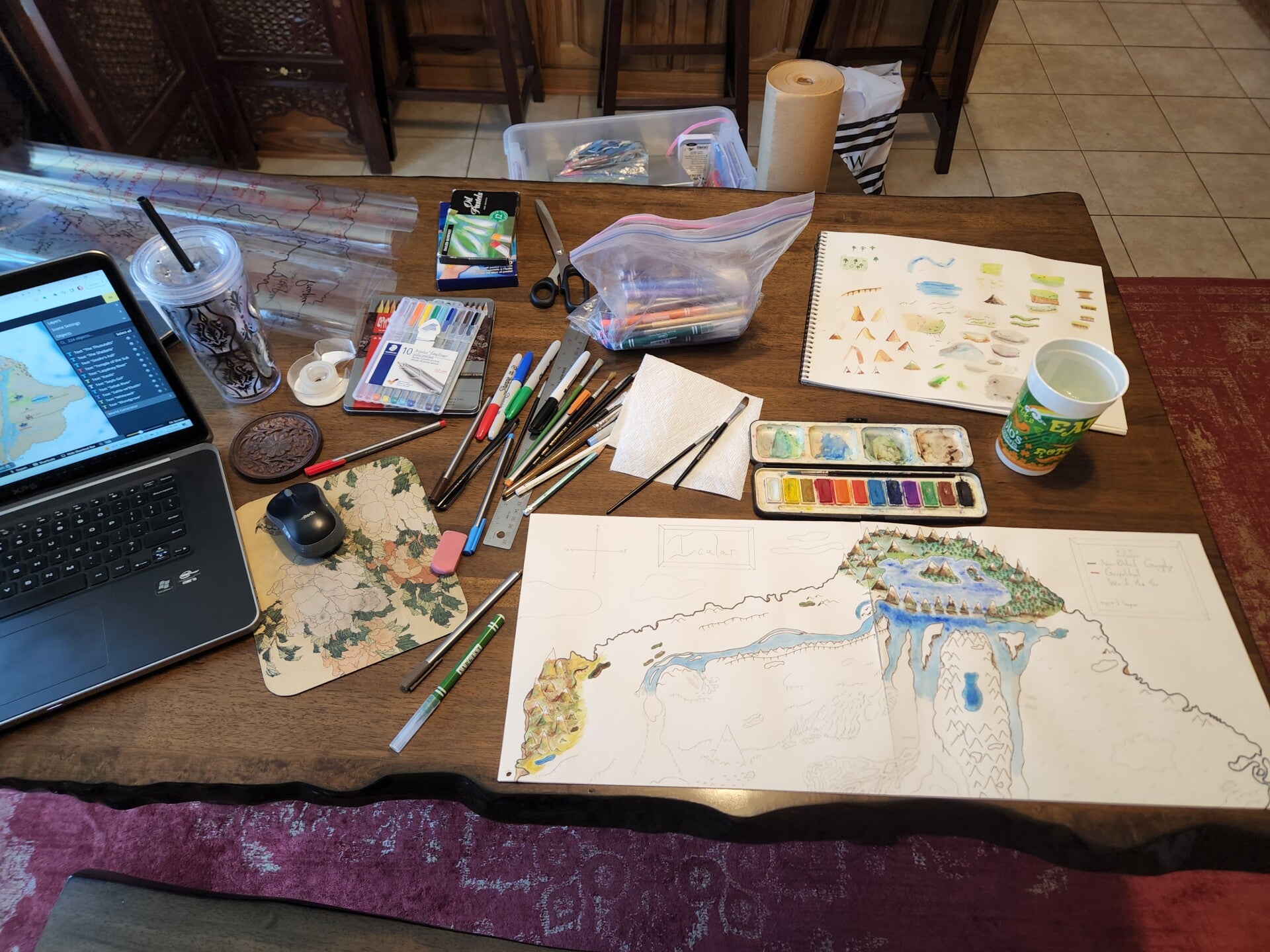
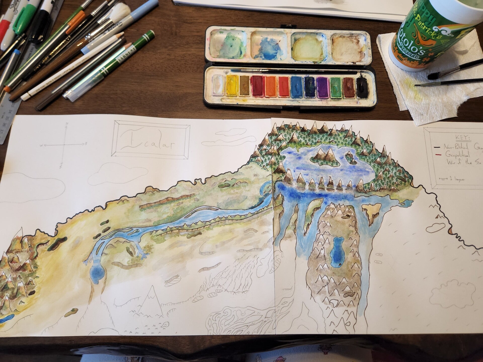
This is part of what Melissa was given to work with. The key in the top right refers to cellophane layers (not shown) that can be laid over the top to show settlements, borders, and names. Tamara sketched in pencil, then used watercolor and ink, and finally added additional shading with colored pencil. You can see more of the process (and the cellophane layers) below!